Keep your rescue heroes connected
According to a recent report published by Allied Market Research, the global IoT market for public safety and emergency response is projected to reach $29 billion by 2027. Boosted by the need for effective response systems, real-time data to inform rapid decision-making and reliable connectivity at all times, we developed an end-to-end solution that enhances operational efficiency, situational awareness, and overall effectiveness.
Our solution
365mesh’s solution utilises dedicated emergency response vehicles, like fire trucks and tankers, command vehicles, ambulances, and air and marine vessels, as mobile nodes with a combination of multiple connectivity (mobile broadband (4G/5G), LEO satellite and Mesh connectivity) to create a seamless and reliable network for real-time communication, tracking and data collection among first responders.
Outcomex is a platinum reseller of 365mesh solutions.
Utilised by all first responder teams

Deliver Internet connectivity to devices in vehicles
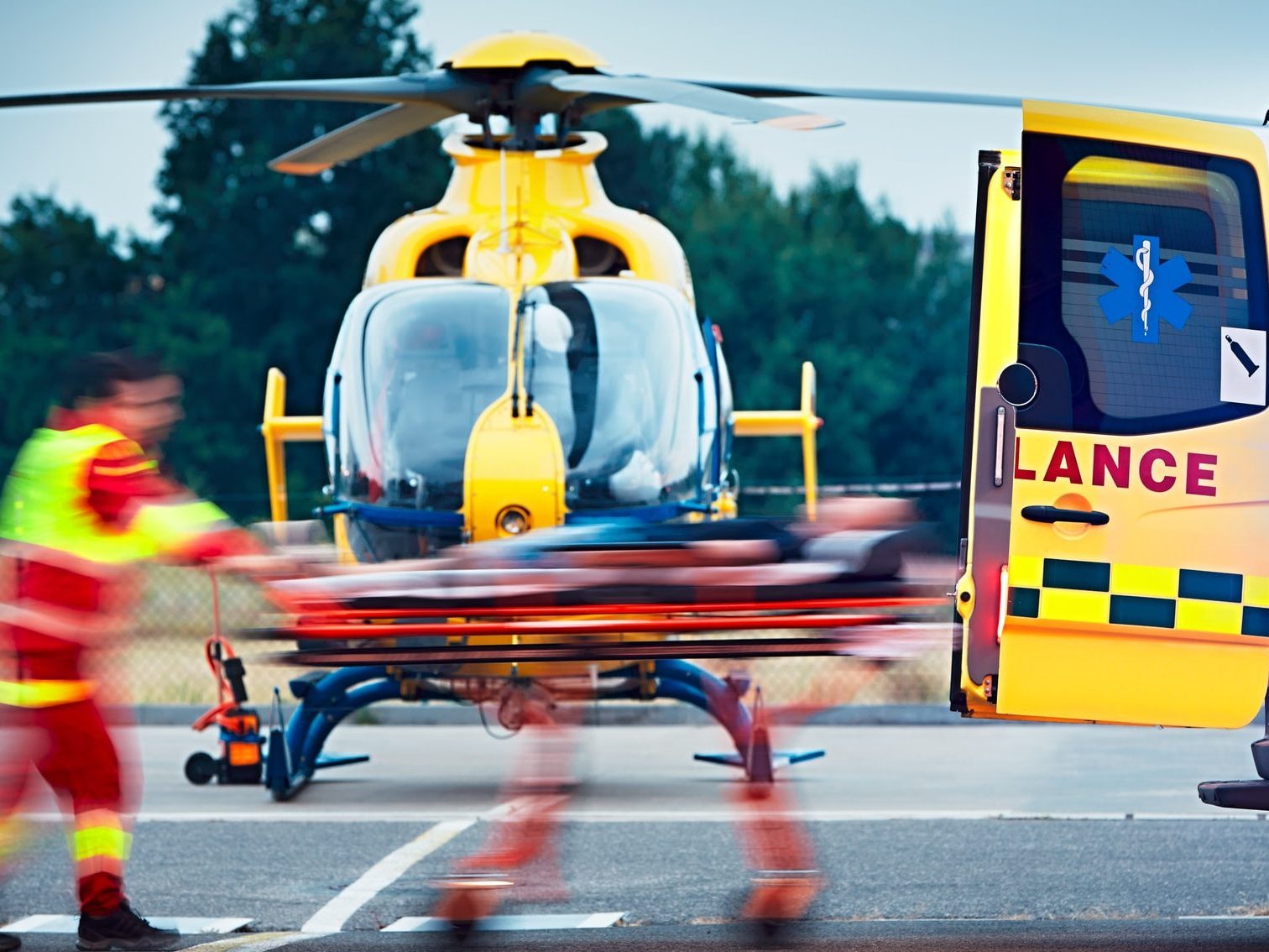
Using vehicles as nodes, maintain mobile connectivity on multiple moving vehicles such as fire trucks, ambulances and rescue vehicles, especially during critical rescue times in low connected areas, where vehicle location tracking and communication between first responders is crucial.
Access critical information in a timely manner
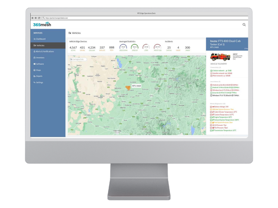
Access data such as area of fire spreads, barometric readings, flood water levels and locations of rescue team members and assets in real time while in the field.
Real-time communication
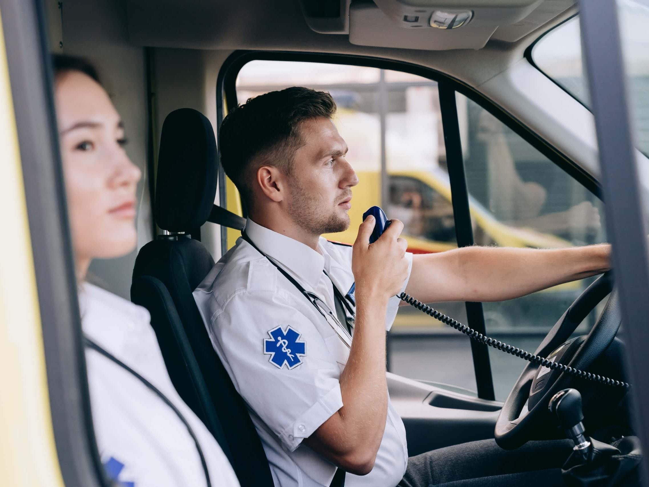
Communicate and share crucial information effortlessly among field teams who require situational awareness of environmental conditions. Stay up to date, even across wide areas, and keep everyone updated on situations, like fires, floods, tricky landscapes, and weather changes.
Collect data to be used for scenario visualisation
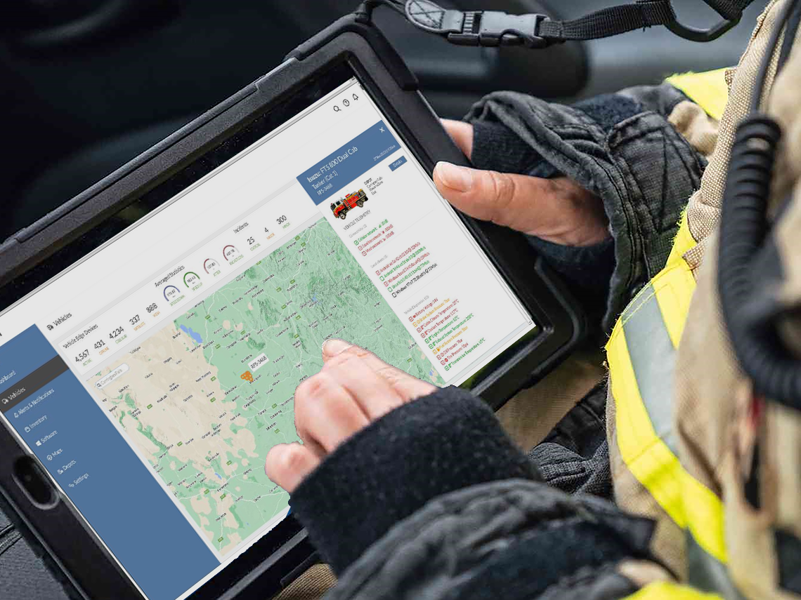
Visualise asset location and telemetry data in real time. Incorporate high-resolution satellite and drone imagery to provide advanced situational awareness. 365mesh provides up-to-date satellite imagery that enables firefighters and rescue services to visualise a fire’s progression on a map, alongside other vital information like water sources, infrastructure, and evacuation routes.
Gain real-time connectivity visibility safely while on the move
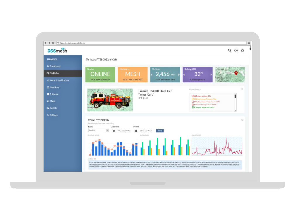
Be informed in real time about connectivity availability, strength and accessibility while in the vehicle (on screens). 365mesh’s dashboard requires low touch user interaction with a simple user interface, ensuring that vehicle drivers can safely comprehend the information on screen while driving without the need to touch the screen.
Receive real-time alerts
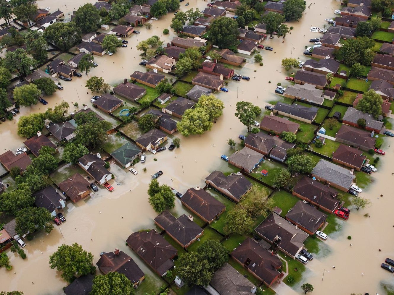
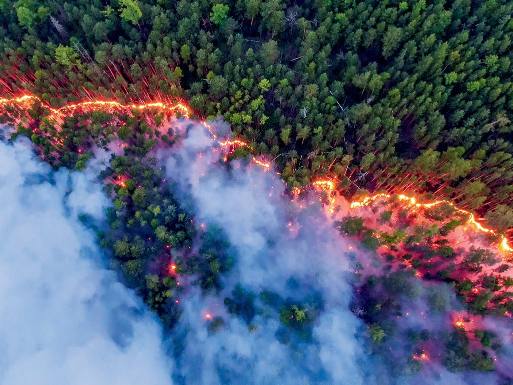
Get timely alerts and notifications through proactive monitoring of incident-prone environments (bushland, dams, and rivers) and respond swiftly to emerging issues before they escalate into critical situations such as bushfires and flash floods.
All-in-one platform
Control your operations and manage your data on one centralised view, making it easier to configure, update, and troubleshoot. 365mesh can be used as a control and visualisation platform for both vehicle node operators and command centre personnel. The platform can be accessed through any web browser-enabled device and provides a platform for many other 365mesh use cases.
Interoperable, flexible and scalable
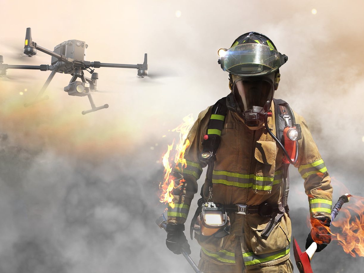
Embrace the future of emergency response with 365mesh’s adaptable solution. As the technology continues to evolve, and new advancements emerge, our solution remains flexible, ready to be installed in a wide range of dedicated emergency response vehicles that are currently being used and/or may be introduced in the future.
Improve disaster preparedness and response through our IoT-enabled monitoring,
prediction and early warning solutions
Bushfire smoke detection
Receive early warning alerts when bushfire smoke is detected
Digital fire warning signage
Help keep communities safe with digital fire warning signage
Temperature monitoring
Receive live updates on the current temperature and relative humidity
Rainfall monitoring
Monitor how much rainfall has fallen and access historical rainfall data
Water management
Monitor water levels in real-time, including water drop tanks and water tenders
Weather station
Monitor real-time weather conditions, receive AI/ML based forecast predictions and access historical data
Air quality monitoring
Keep your team safe by receiving alerts when toxic chemicals or other gases are detected
Flood monitoring
Manage water bodies and receive alerts and notifications if there’s a flood risk
Infrastructure maintenance
Proactively monitor infrastructure’s health, safety and maintenance
Vehicle and fleet tracking
Track your fleets in real-time for improved emergency navigation and instructions
Vehicle rollover alerts
Receive alerts if a vehicle overturns or goes down on its side
Vehicle health monitoring
Proactively monitor vehicle health and usage to prevent breakdowns

Object identification
Identify, recognise and classify objects, people and animals with accuracy
Disaster timelapse
Receive disaster timelapse vision from cameras and via satellite imagery
Heat
maping
Monitor temperature in fire prone environments and prioritise emergency responses accordingly

Smart body cameras
Have video documentation and improve your environment and situational awareness as well as training purposes
Land and aerial surveillance
Enhance your surveillance coverage with land and aerial imagery
Safety gear detection
Receive alerts if safety gear is not being used and mitigate potential risks
Wearable tracking devices
Track everyone in your team for enhanced safety and coordination

Advanced AI radar technology
Ensure precise detection and an efficient response on search and rescue situations
